Emerio Launches New Survey Drone
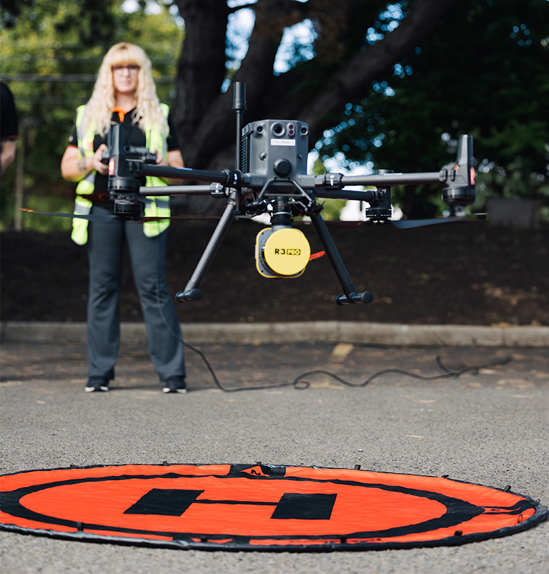
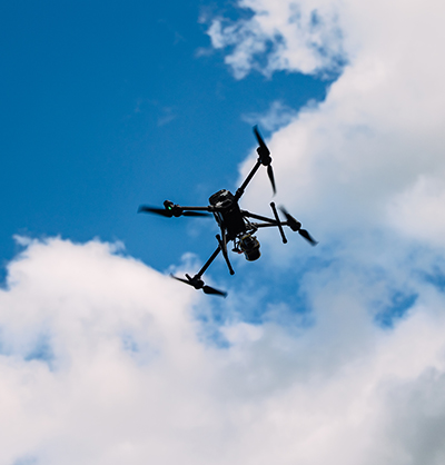
Emerio’s survey capabilities now include the DJI Matrice 350 TRK 3D LiDAR Drone, allowing us to provide clients with the most accurate way of capturing 3D LiDAR data from the sky or on the ground!
Our new drone technology is ideal for:
- Existing conditions for site development
- Topographic and basemapping in densely vegetated corridors
- As-built and ongoing status mapping to understand the progress or changing conditions of a project
- Quantity analysis for quarries and industrial sites
- Construction projects, allowing contractors to understand work completed and timelines for site approvals and payment
Emerio’s aerial drone mapping capabilities include:
- Digital terrain modeling
- Digital surface modeling
- Point cloud classification
- Aerial photography
- 3D DTM
- Volume calculations
Benefits to you and your clients include:
- Cost Savings – ground time for crews decreased
- Safety benefits – our drone can fly where ground crews would be unsafe, eliminating the need for crews to be in questionable locations or unsafe terrain
- Emergency Response – identify site safety concerns that may impact your project scope
Contact Survey Department Manager Scott Grubbs to learn how Emerio’s drone can ADD VALUE to your next project by reducing costs and saving time. We are happy to discuss the specifics of your project including location, challenges, budgets, and schedule while offering options and solutions to support the success of your project.