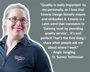
Providing surveying services since 2013, Emerio’s surveying team regularly performs topographical, boundary, control, ROW, and utility surveys for large-scale transportation projects and short-term utility and site development projects. We prepare property line adjustments, produce subdivision and partition plats, oversee topographic and field survey to create existing conditions maps, and prepare legal descriptions to submit records of survey. We utilize state-of-the-art aerial drone and 3D laser scanning technology, allowing us to deliver accurate surveys in a fraction of the time of traditional survey methods. With several crews in the field and multiple survey office technicians, no project is too complex or too small for our team.

- Aerial drone
- 3D Scanning
- Boundary and ALTA/NSPS title survey
- Construction verification and construction staking of utilities, roadways, buildings and site improvements, marking of ROW and easements
- Control survey using GPS
- Field verification of existing conditions
- Monument placement and recovery
- Preparation of legal descriptions, exhibits, and records of survey
- Right-of-Way and centerline resolution
- Subdivision and Partition Platting
- Static and Real Time Kinematic GPS
- Topographic survey
Contact Scott Grubbs
